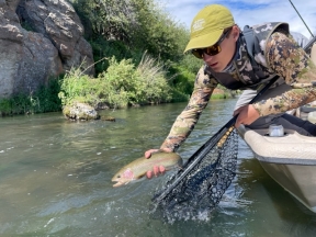
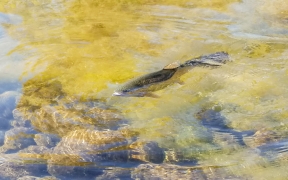
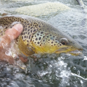
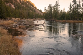
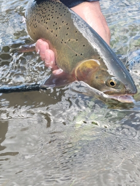
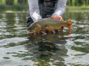
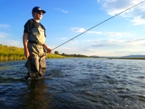
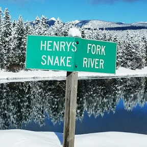
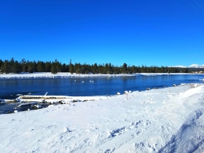
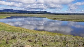
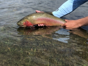
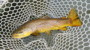
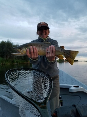
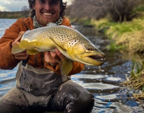
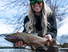
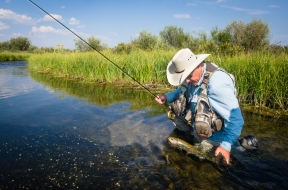
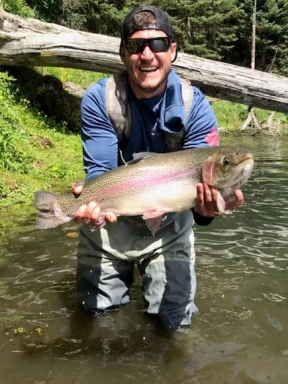
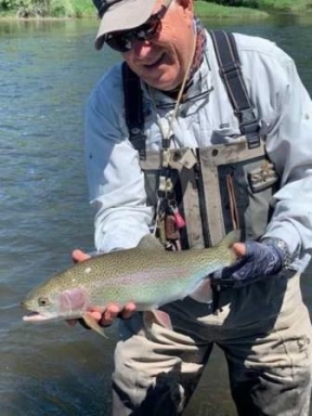
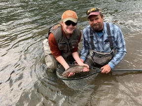
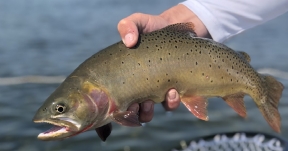
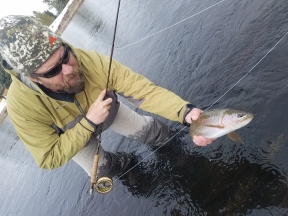
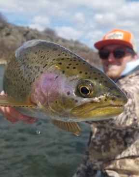
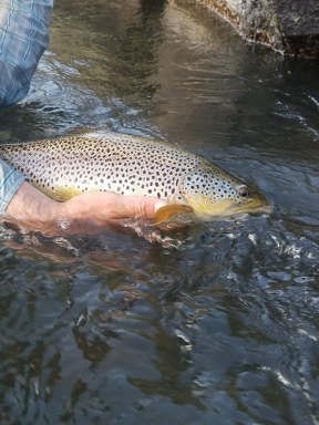
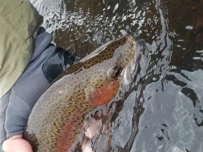
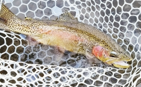
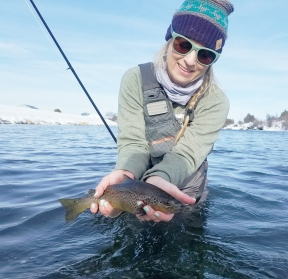
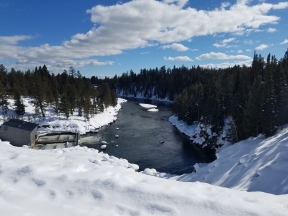
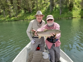
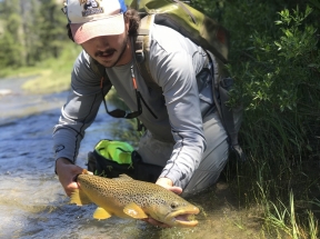
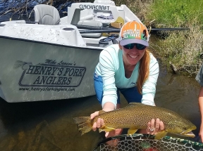
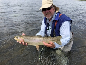
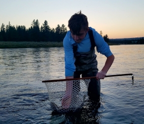
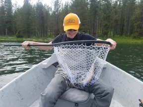
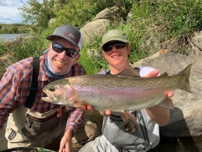
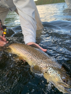
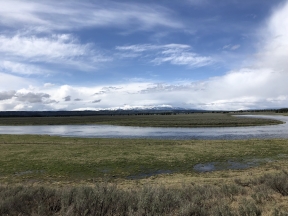
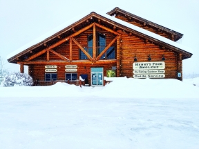
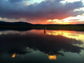
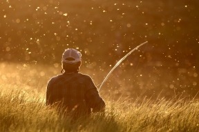
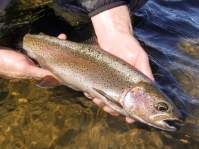
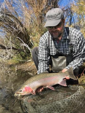
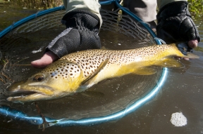
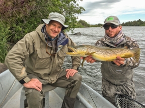
We cover the largest service area in the region including the Henry’s Fork, South Fork, Madison, Teton, Yellowstone Park, area lakes and more. Stay close to the action with our up to date fishing reports.
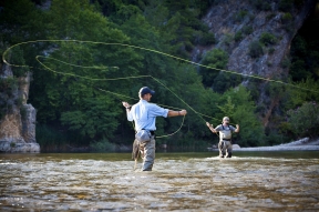
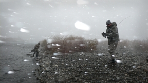
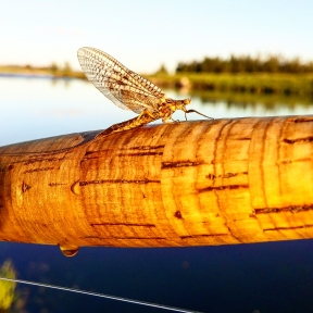
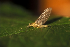
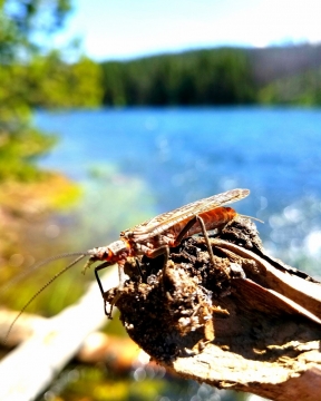
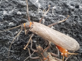
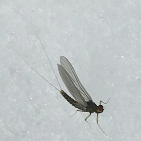
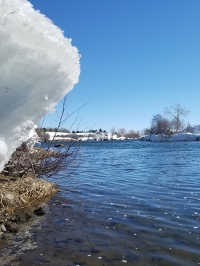
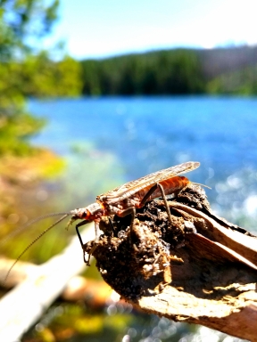
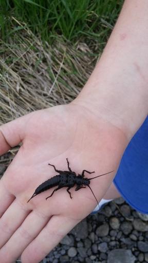
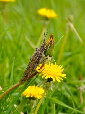
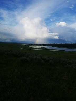
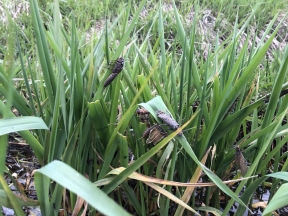
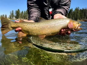
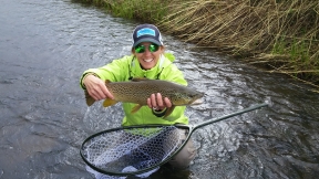
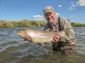
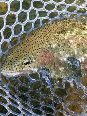
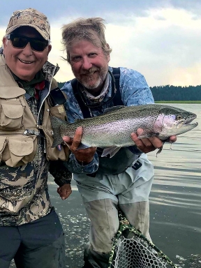
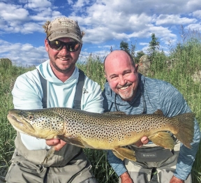
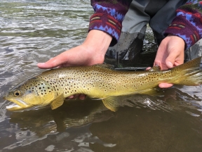
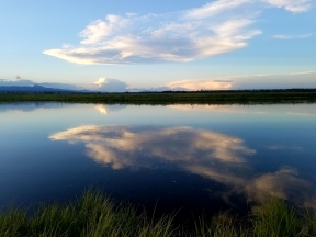
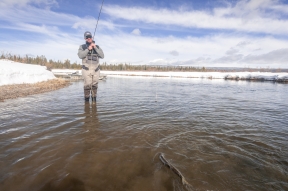
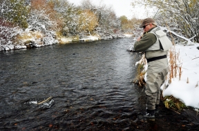
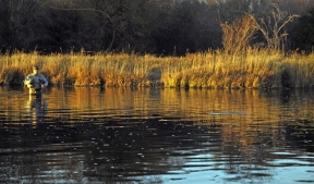
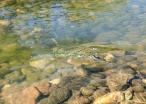
Its Spring time here in Eastern Idaho which means it could be 55 degrees one day or blowing and drifting snow the next. Just like the different weather patterns we get this time of the year the Henry’s Fork fishes that way. One day you could have…